Map of Isälvsleden
Degree of difficulty and type of trail
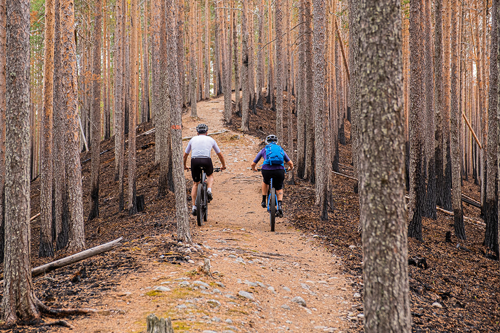
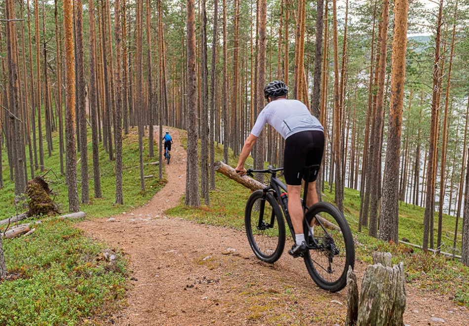
The nature along the trail is mostly sandy pine forest, which provides nice easy-to-follow trails.The trail as a whole is ranked green and blue (on the scale green, blue, red, black) but sometimes short steep slopes appear at ridges and riverbanks. Some of the slopes are so sandy and loose that even really good cyclists have to jump off and lead the bike.
Riding the entire trail - 58 km - between Åmsele and Vindeln is a wonderful excursion and takes about 4-5 hours, depending on how many stops you make along the way. You can also ride parts of the trail:
-
Vindeln-Hällnäs
18 km 1.5 hour -
Hällnäs-Djupsund
23 km 2 hours -
Hällnäs-Åmsele
40 km 3 hours

Isälvsleden. Photo: Andreas Nilsson
Signs, parking and service places
The trail is marked with signs and orange on trees and poles. You will find parking at Friluftscentrum in Vindeln, Hällnäs, at the railway station, the entrance to the Valfrid Paulsson reserve and Åmsele Camping.
Getting to Isälvsleden from Umeå is easiest via Norrtåg towards Vindeln or Hällnäs, or with your own car. Should hunger or cravings strike, we recommend the following places:
-
Vindeln: The outdoor shop Kaffe Skog & Rök has outdoor equipment and bicycle rental.
There are also Coop and ICA, as well as hotels and hostels -
Hällnäs: The service point has food, sausages, ice cream and coffee.
Kärleksuddens Camping is beautifully situated by the Vindelälven river and has cabins and a swimming area. -
Åmsele: The trader in Åmsele sells food and ice cream.
Åmsele Camping has cabins and its own swimming area. Canoe rentals are also available here.

