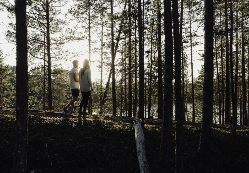
Discover Sweden by hiking! Whether you are looking for challenging, easy-going, exciting, family-friendly or close to the city hikes you will find it in our region. Below we have gathered our best tips on hiking trails in Umeå and the surrounding area. Hike the entire trail or just parts of it.
Selected hiking trails in the Umeå region
Tips on what to see and do on each trail as well as more information can be found further down.
9 hiking recommendations in Umeå
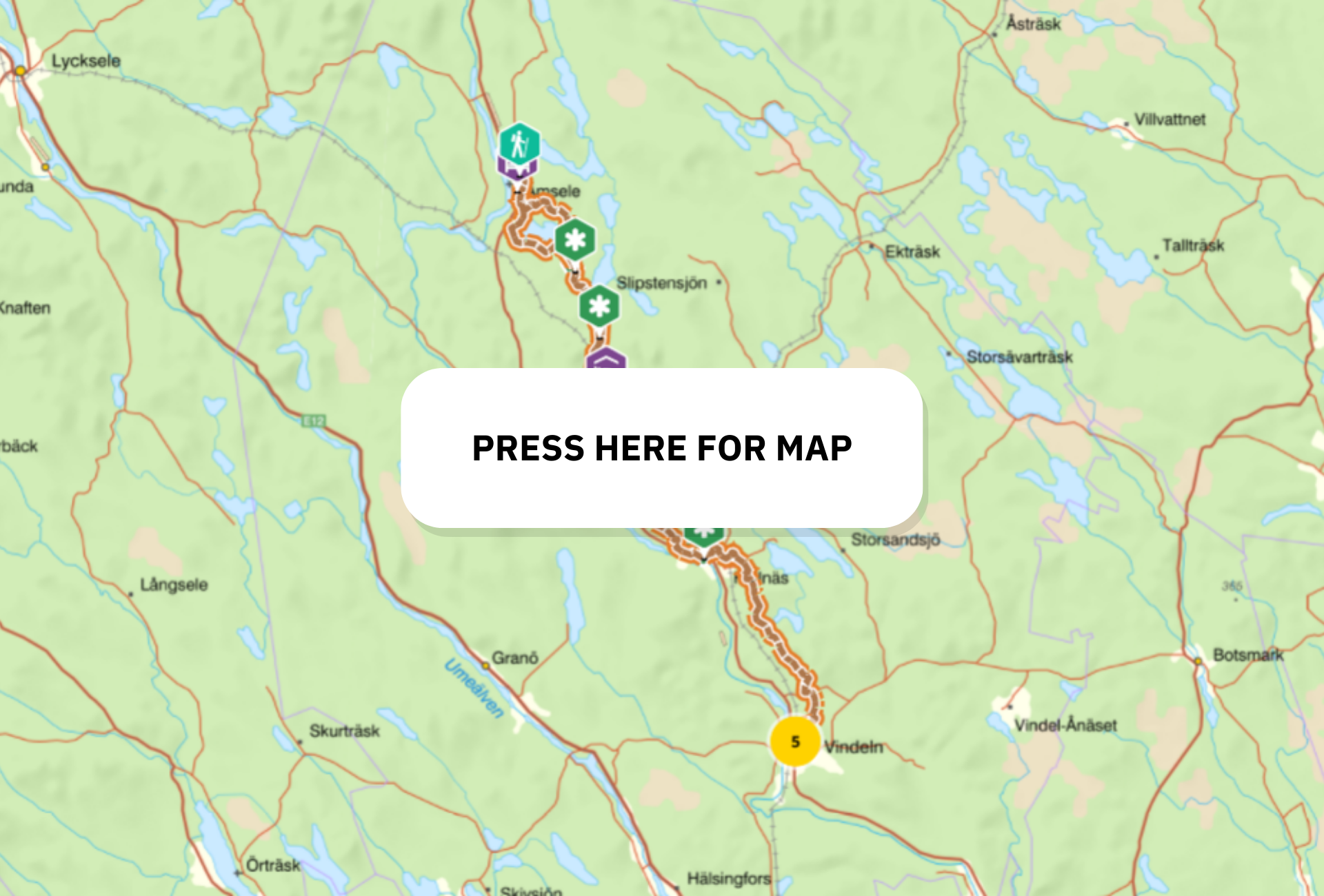
Isälvsleden
Follow the traces of the inland ice. The Isälvsleden hiking trail passes several nature reserves and runs long distances up on the ridge Vindelälvsåsen - one of Sweden’s longest pebbles. At Lerfallet there is a miniature landscape with active sludge volcanoes and the small lake Missutjärn is surrounded by a fairy tale-like, old pine forest.
Don't miss: The Valfrid Paulsson Reserve, the view from the ridge Sundkammen above Hjuken, the rowing trip with boats you can borrow across the Djupsundet.
Quick guide
Distance: 60 km.
Route: Vindeln – Åmsele.
Difficulty: Fits everyone. The trail follows old roads, paths and small roads in a beautiful and easy-going terrain.
Challenge: Find the rare orchid Jungfru Marie Nycklar.
Overnight stay: Overnight cabin at Missutjärn, tent.
More information about Isälvsleden
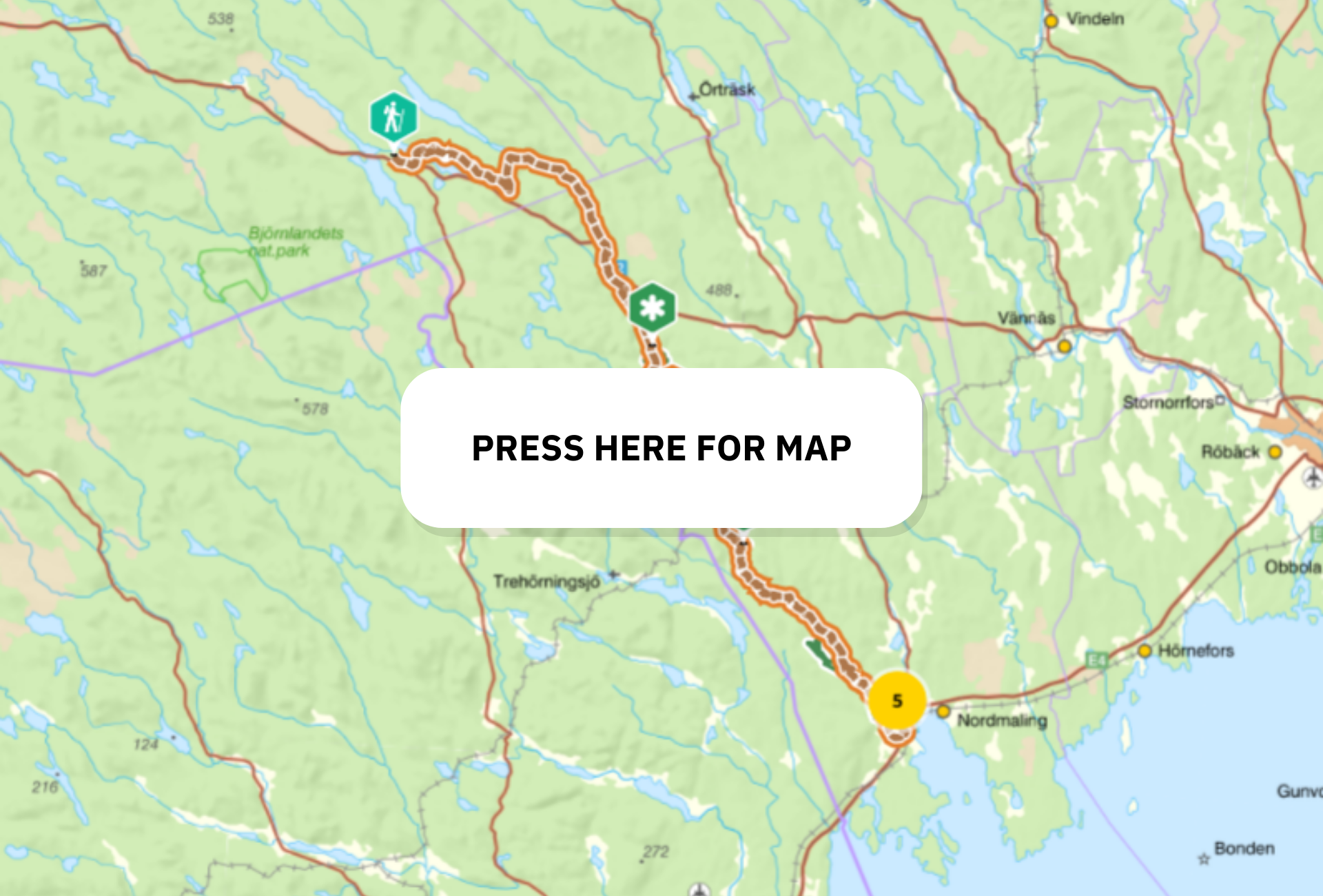
Lögdeälvens vildmarksled
The hiking trail, which is called both Lögdeälvsleden and Lögdeälvens vildmarksled (i.e. The Wilderness trail of river Lögdeälven), is also part of the historic Tempelleden (i.e.Temple Trail), which connects the coast with southern Lapland. It is well suited for both shorter day hikes and long hikes in an almost fantasy-like landscape with ravines, meander arches and terraces.
Don't miss: Himlastegen (i.e Stairway to Heaven), Drakryggen (i.e. the Dragon’s Back), which is the most powerful of the ridges along the river, fishing for salmon and sea trout.
Quick guide
Distance: 85 km.
Route: Ormaggan – Nordmaling.
Difficulty: Varying.
Challenge: Spotting an otter. Yes, there is a chance!
Overnight stay: Several overnight cabins along the trail, tent.
More information about the Lögdeälven trail
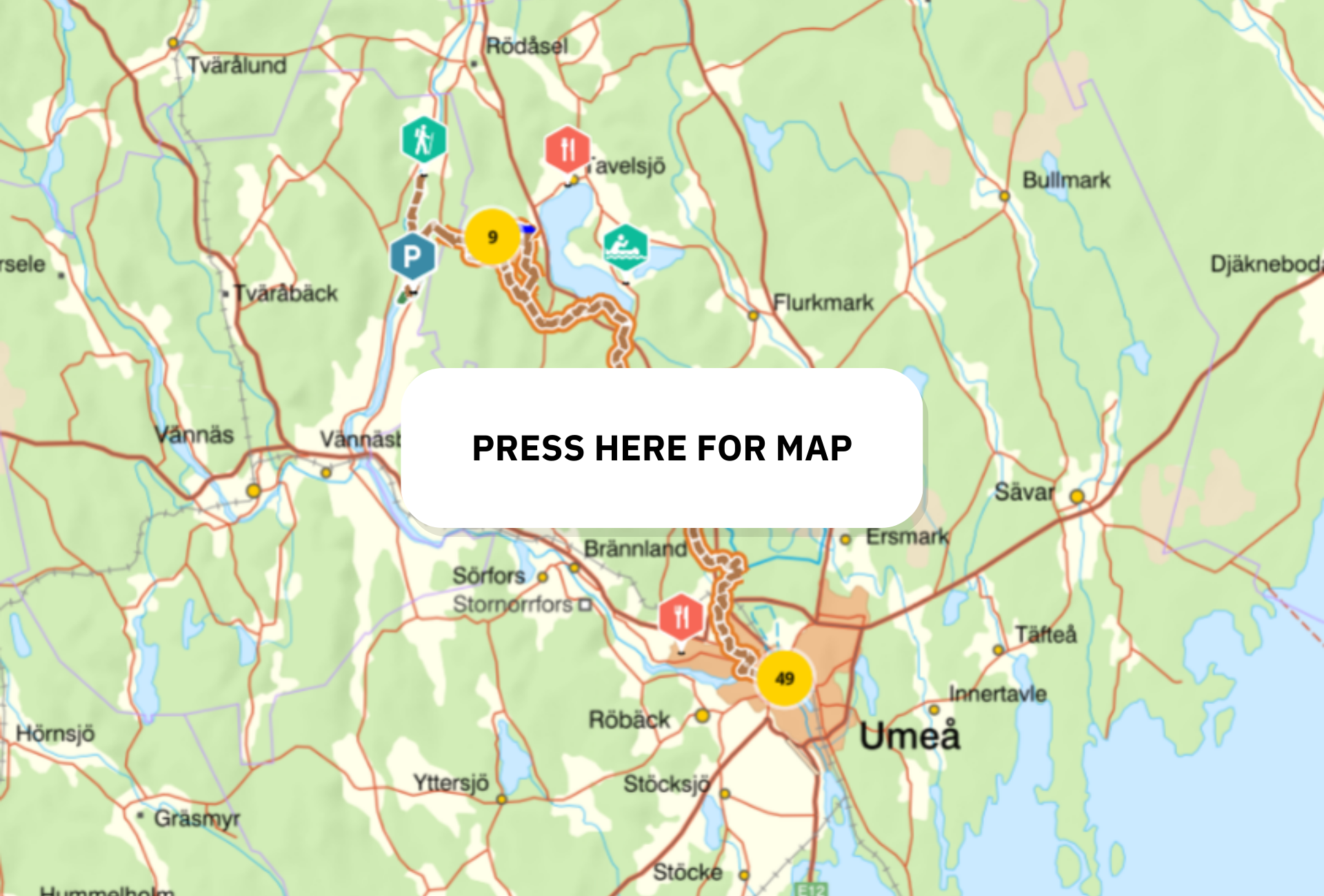
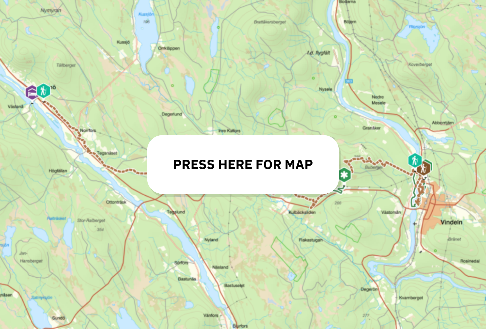
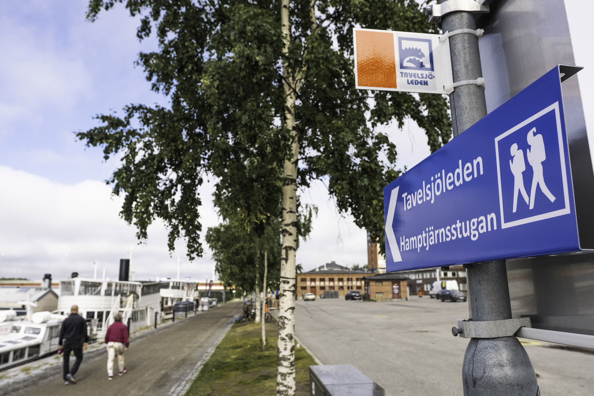
Tavelsjöleden
Perfect route for those who want to hike, starting in Umeå city centre. There are plenty of caves and mountain tops with magnificent views. Don't forget to look for the mythical lake monster Tavelsjöodjuret when you have a good view of Lake Tavelsjö below! If you like climbing Vallberget is the mountain to hit. The Tavelsjöleden trail links with the Vännforsleden trail as well as the Vindelälvsleden trail.
Don't miss:
Hamptjärnsstugan
The caves and the view from mountains:
Tavelsjöberget
TioTopparTavelsjö/Ten peaks of Tavelsjö
Quick guide
Distance: 42 km, when starting in Umeå city centre (by the river near Väven cultural centre).
Route: Umeå - Västra Vännfors.
Difficulty: varying. The stretch from downtown Umeå is very easy and partly runs along the boardwalk and bike paths.
Challenge: Climb Vallberget and find the cave Vallbergsgrottan.
Overnight stay: tent, Torrbergstugan (pre-booked).
More information about Tavelsjöleden
Around Tavelsjön
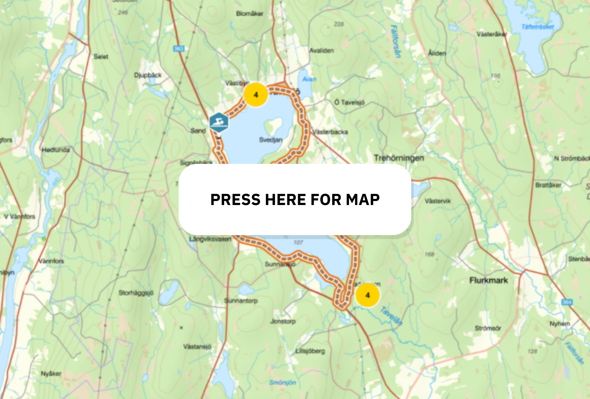
Experience all angles of Tavelsjön during this round starting at the church. The trail can be tackled in several different ways, such as on foot, by bicycle or on horseback. If you want to continue hiking in the area, there are both Tio Toppar (Ten Peaks) and Tavelsjöleden, which can take you all the way to Umeå.
Don't miss: Glide out onto the lake with equipment from Tavelsjö Kanot, explore the caves at Vallberget and take a refreshing swim at Sand badplats.
Quick facts
Distance: Ca. 23km
Route: Start at the church in Tavelsjö, then walk east and follow the trail around Tavelsjön and then finish when you get back to the church.
Difficulty: Easy. Part of the trail goes around Lillberget where there is more terrain, but the majority follows asphalt and gravel roads.
Challenge: Get a glimpse of the Tavelsjö beast.
Flottarstigen and Fiskestigen
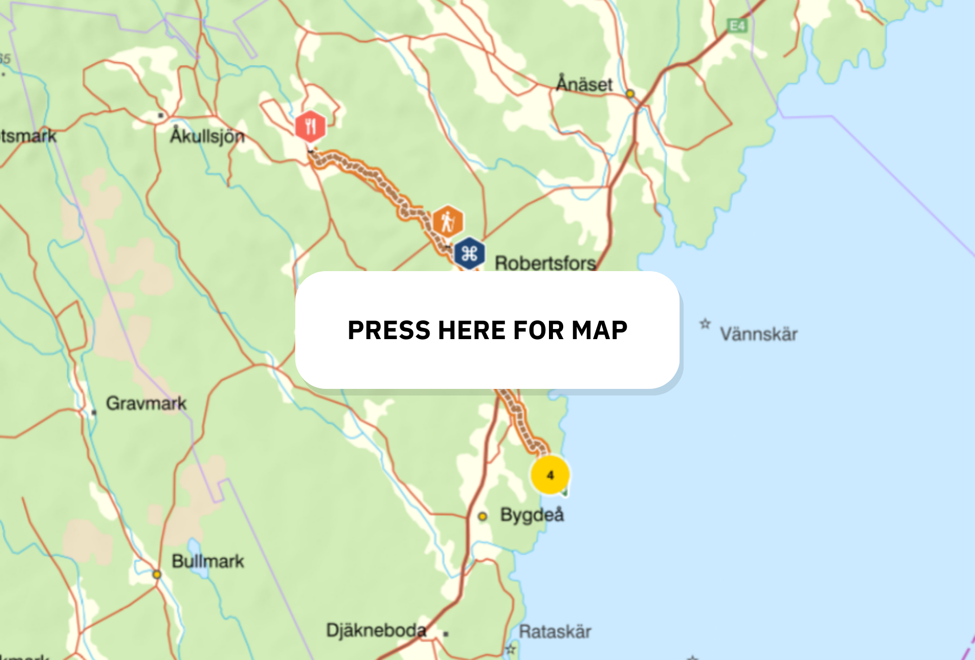
On the old Flottarstigen and Fiskestigen along river Rickleån, you will walk in a historic environment. Both floaters and fishermen have been here for centuries. Flottarstigen runs from the village Överklinten to Robertsfors, where Fiskestigen takes you on to the mouth of Rickleån by the sea. The trail ends at the Klubben nature reserve. The chance to spot beavers in the area is great.
Do not miss: At Åströmsforsen nature reserve you can find the flower ”Gul svärdslilja” (a lily). Another scenic place is Åknät, with an abundance of lilies of the valley..
Quick guide
Distance: 31.1 km (Flottarstigen 13 km and Fiskestigen 18.1 km).
Route: Överklinten - the nature reserve Klubben.
Difficulty: Suitable for everyone. The trails offer easy hiking in scenic areas without any major ascents. Some places have been adapted for accessibility and can be reached by wheelchair and have accessibility adapted toilets.
Overnight stay: Along the path there are a number of nice rest areas with windshelters, barbecue areas, bench tables and dry toilets.
More information about Flottarstigen and Fiskestigen
Tvåälvsleden
Through marshes, meadows and forest, you make your way from one river valley to the other. Starting at the Vindelälven and ending at the Umeälven, you have the ultimate trail to maximize the river excursion.
Don't miss: The thundering Vindeln rapids, Konst i Kvarn (Art in the Windmill) during the summer, Granö Beckasin with fun activities and a restaurant.
Quick guide
Distance: ca. 25 km
Route: Vindeln - Granö
Difficulty: Green
Challenge: Keep your eyes peeled for salmon dancing up the rivers!
Overnight stay: Granö Beckasin, Hotell Vindelngallerian, Hotell Forsen.
Hiking trails on Holmön
Holmön
Disembark on Sweden's sunniest island with fantastic hiking opportunities. Here, four trails are offered in connection with the ferry area, from easy stages to slightly more varied hiking. Facilities such as toilets, wind protection and barbecue areas are close at hand. If you fancy a dip, it's not a problem either, as there are several swimming spots along the trails.
Don't miss: Bergudden's lighthouse with associated lighthouse keeper's residences (which can be rented for the night!) and step right into the island's ancient history at Holmön's Boat Museum.
Hiking trails on Holmön - Quick facts
Holmörundan - 13km - 3,5 h - Difficulty varied (green, blue)
Trappudden - 7km - 2 h - Difficulty varied (green, blue)
Kammen - 6km - 2 h - Difficulty level easy (green)
Vedaögern - 4km - 1 h - Difficulty level easy (green)
Ängesön - 15km - 5,5 h - Difficulty level varied (blue, red)
Tips on urban hiking
The promenade along the Umeälven river. Photo Philip Avesand
Looking to hike but don't want to go that far, or are you just curious to discover new surroundings? Here you will find our best tips on easily accessible trails around Umeå which are suitable for both walks and bike rides.
Strandpromenaden (the promenade along the Umeälven river) is the right place for those who want to discover the surroundings around Umeå city centre. The city's most popular walking trail right now is probably to walk west from the centre and then cross the river over the bridge Lundabron. Then continue via the Bölesholmarna islands and Teg and take the old bridge Gamla bron back to the city centre, a total of about 4 km.
More information about Strandpromenaden
Ume Älvdal (the Umeå river valley) is a trail along the river Umeälven. Enjoy rushing water, lush forests, marvellous views and plenty of sights with history, art and culture on foot or by bicycle. About 30 km in total, if you choose the western loop, cross the river by the Notvarpsbron suspension bridge, and taie the opposite side of the river back to Umeå city centre.
More information about Ume Älvdal
Among popular activities and experiences near Umeå right now, Tio toppar Tavelsjö (Ten Peaks) is high on the list. Quickly explained, it's about finding ten mountains in the Tavelsjöbygden area. The mountains offer different experiences, different degrees of difficulty and different views. For each mountain there is a marked path from its base to its summit. Choose between hikes from 0.5 to 2.1 km one way. The climb that you have to overcome varies from 42 to 165 meters in height. When you have climbed all the mountains, you have gained more than 1000 meters of altitude. Read more and try it yourself!
More information about Tio toppar Tavelsjö